
Geology and Industrial Archaeology of Todmorden Moor
led by Brian Jeffery (GeoLancashire) and Peter del Strother (GeoLancashire & MGA)
10:00 - 16:00 BST, 7th June 2025
Overview
Starting west of Todmorden (meeting point details to be provided following registration) we will examine two excellent exposures of the 6-inch coal and the strata above and beneath it. Beneath is a seat earth of various facies and above are barren shales followed by the Subcrenatum Marine Band, previously known as the Gastrioceras subcrenatum Marine Band, the base of the Westphalian, here the Pennine Lower Coal Measures.
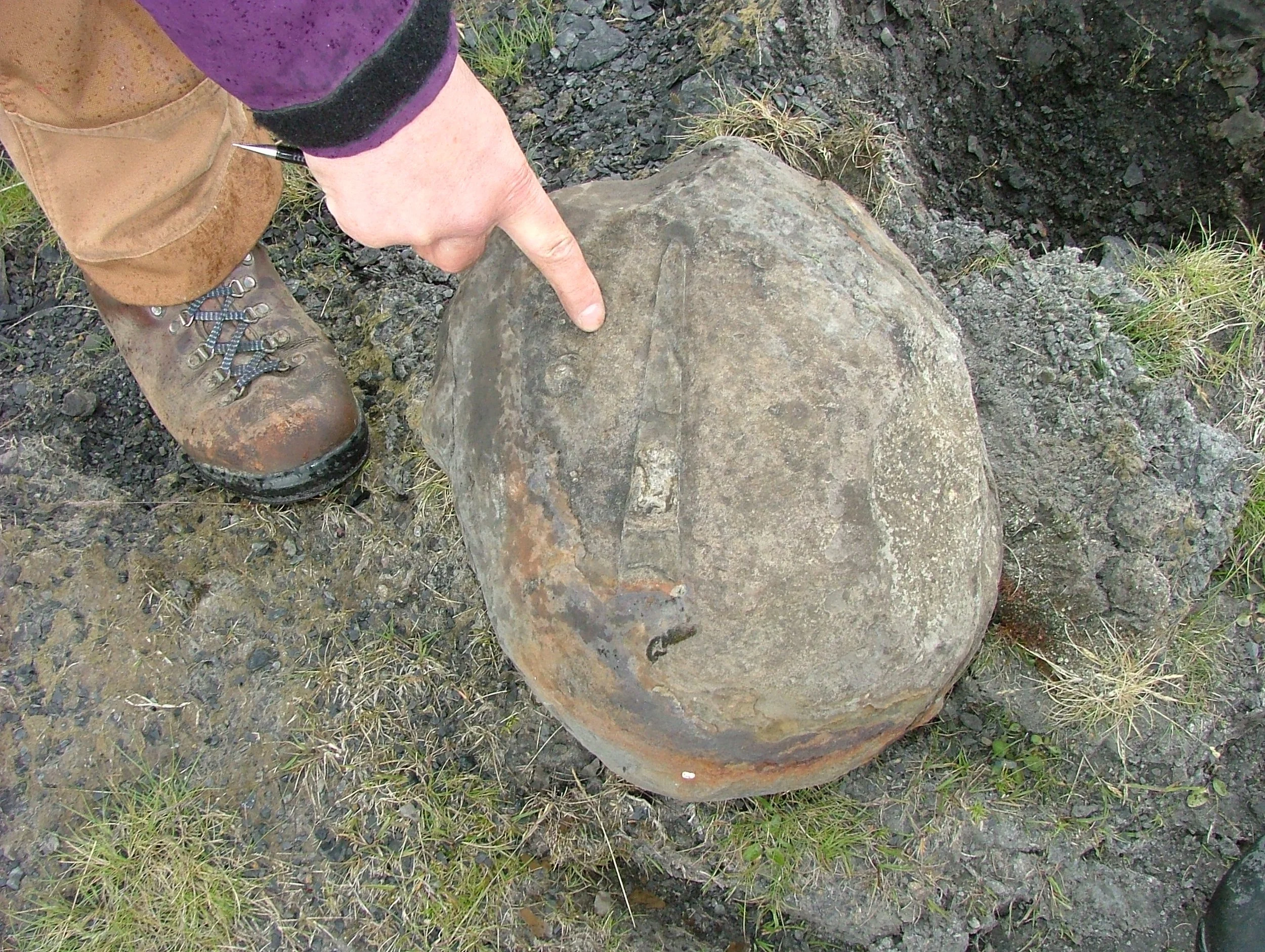
We will also see evidence of extensive historical coal mining. We will observe how the topography reflects the succession of mudstones and sandstones and examine some nice examples of sedimentary structures, such as trough cross-bedding We expect to see examples of Dunbarella in the marine band, together with crushed goniatites. If we have a goniatite expert in the group, we may be able to confirm that they are indeed Gastrioceras subcrenatum.


Access
The walk will cover around 4 miles on field paths and tracks. There are no stiles, but the ground can be uneven, a walking pole may be useful aid.. Above the Milnrow Quarry, there is 500m of gently rising ground. Beyond Flower Scar Road, people must stick to the path, as there is the danger of unseen mine-shafts. There are no toilet facilities on Todmorden Moor.
Requirements
Carry food and suitable drinks and a lunch stop will be made at Location 3. People should have suitable clothing and footwear for a moorland walk, as the moor is exposed and open to cold winds from the east. A sunscreen would be advisable on a sunny day.
Any under 18s MUST Be accompanied by a responsible adult.